


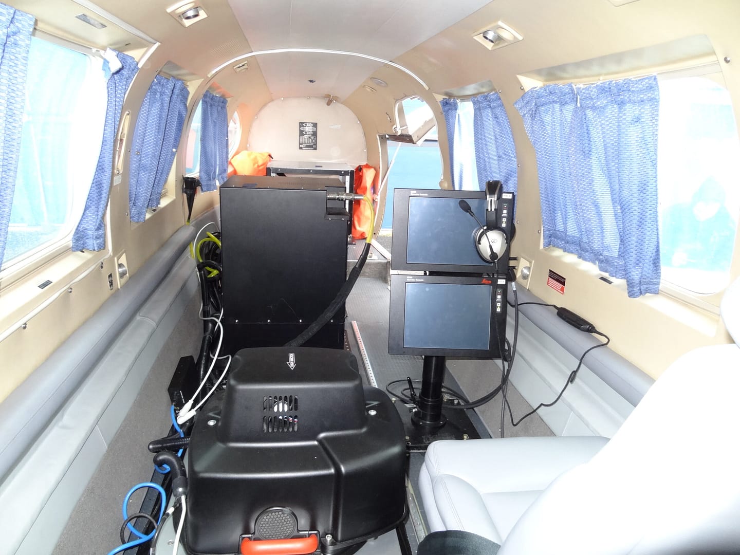
The government of Antigua and Barbuda is to benefit from aerial Light Detection and Ranging (LiDAR) surveys jointly sponsored by the Caribbean Development Bank (CDB) supporting its Borrowing Member Countries (BMC), the Government of Antigua and Barbuda, and the National Parks Authority.

These surveys are being conducted in collaboration with the Caribbean Community Climate Change Center (CCCCC).
The CCCCCs has acquired a LiDAR sensor under a USAID project and is seeking to sensitize the region about its use and efficacy for, inter alia, development planning purposes.
The areas to be surveyed include the entire landmass of Antigua and the marine sections of the northeast area, Willoughby Bay and the Nelson’s Dockyard National Park.

The aerial surveys will commence the week of the 15 May 2023 and run for approximately one week in May and another week in early June.
The LiDAR program intends to provide high resolution geo-spatial data needed for sustainable development planning, land use planning, building climate change resilience and improving disaster preparedness to face the existential threat of climate change.

This venture was made possible by the CCCCCs through funding by the CDB and USAID, the Department of Environment through funding from the Green Climate Fund (GCF) and the National Parks Authority providing counterpart funding through the Marine Ecosystems and Protected Area Trust (MEPA) funded by the Caribbean Biodiversity Fund (CBF).
Antigua and Barbuda expresses its gratitude to the CCCCCs, the CDB, USAID, GCF, MEPA Trust and the CBF for providing this opportunity to the country.

For more information on the LiDAR surveys please contact the Department of Environment at 462-4625 or 562-9616 for more details.
Advertise with the mоѕt vіѕіtеd nеwѕ ѕіtе іn Antigua!
We offer fully customizable and flexible digital marketing packages.
Contact us at [email protected]


