The Met Office says things look to be heating up the Atlantic again.
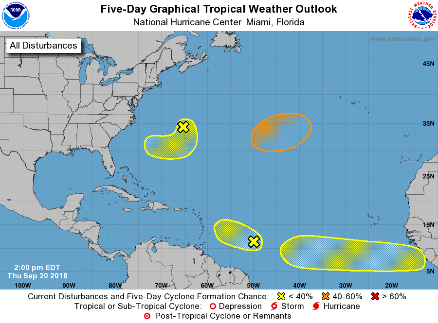
There are now two Tropical Disturbances and the two are forecast to form in the next 5 days.
The two between Africa and the Caribbean are of concern to us, according to forecasters.
It is too early to say where exactly these systems will go.

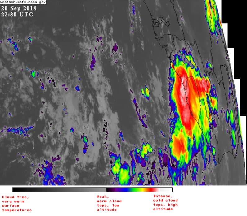
The National Hurricane Center says satellite imagery shows that showers and thunderstorms associated with a westward-moving tropical wave located about 750 miles east of the Windward Islands have become less organized over the last several hours.
There is no evidence of a surface circulation at this time, and a combination of dry air and strong upper-level winds are expected to make
* Formation chance through 48 hours…low…10 percent.
* Formation chance through 5 days…low…10 percent.
NHC is also predicting that a tropical wave is forecast to emerge off the west coast of Africa by Saturday.
Some slow development of this system is possible early next week as it moves quickly westward across the low latitudes of the eastern tropical Atlantic Ocean.
* Formation chance through 48 hours…low…near 0 percent.
* Formation chance through 5 days…low…20 percent.
Advertise with the mоѕt vіѕіtеd nеwѕ ѕіtе іn Antigua!
We offer fully customizable and flexible digital marketing packages.
Contact us at [email protected]


Lord Jesus, I pray for Your protection over the islands in the Caribbean from these storms in the Atlantic.
We need the rain but not the wind
Comments are closed.