(Met Office Update) –
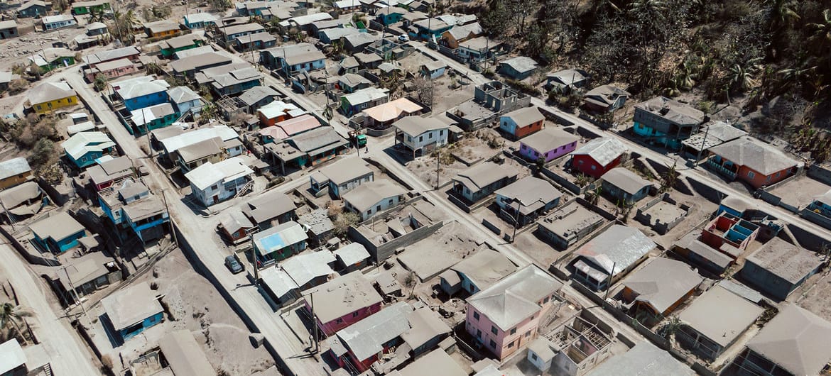
Unstable conditions produced a short spell of light to moderate showers across the interior of mainland St. Vincent earlier today, resulting in a dense mixture of ash within some rivers (mudflows – lahars).
The extremely fast and dangerous currents were observed in red and orange zones. A few isolated showers are likely within the next 24 hours, however more significantly, late Wednesday could see an injection of additional atmospheric moisture as a trough inches closer to the islands.

A favourable upper-level environment could produce some moderate showers on Thursday with occasional activity on Friday as instability lingers. Residents and motorists should remain alert due to rain-soaked ash and poor visibility in volcanic ash.
Gentle to moderate(15-25km/h) east south-easterly trades will flow across the islands before becoming east northeasterly by late Wednesday.
Speeds would then become light to gentle(10-20km/h) before shifting to east south-easterly again by Thursday evening.
Seas are currently slight to moderate in open water peaking up to 1.0m on western coasts and up to 1.5m on eastern coasts.
Slight (0.5m to 1.2m) conditions are forecast from Wednesday heading into the end of the week.
However, small craft operators and other users of the sea should not venture along the coast in the red zone due to extremely poor visibility in volcanic ash.
Improvement to Saharan dust concentrations should continue as they are expected to thin out as the week closes.
Advertise with the mоѕt vіѕіtеd nеwѕ ѕіtе іn Antigua!
We offer fully customizable and flexible digital marketing packages.
Contact us at [email protected]


