


WATCHES AND WARNINGS

——————–
CHANGES WITH THIS ADVISORY:

The government of Antigua and Barbuda has issued a Tropical Storm Warning for Antigua, Barbuda, St. Kitts, Nevis, Montserrat, and Anguilla.

The government of the Netherlands has issued a Tropical Storm Warning for Saba and St. Eustatius.
The government of St. Maarten has issued a Tropical Storm Warning for St. Maarten.

The government of France has issued a Tropical Storm Watch for Guadeloupe, St. Barthelemy, and St. Martin.

SUMMARY OF WATCHES AND WARNINGS IN EFFECT:

A Tropical Storm Warning is in effect for…

* Antigua, Barbuda, St. Kitts, Nevis, Montserrat, and Anguilla

* Saba and St. Eustatius
* St. Maarten

A Tropical Storm Watch is in effect for…
* Guadeloupe, St. Barthelemy, and St. Martin

A Tropical Storm Warning means that tropical storm conditions are expected somewhere within the warning area within 36 hours.
A Tropical Storm Watch means that tropical storm conditions are possible within the watch area, generally within 48 hours.

Interests elsewhere in the Virgin Islands, Puerto Rico, and Hispaniola should monitor the progress of this system. Additional watches or warnings will likely be required for portions of these areas later today.
For storm information specific to your area, please monitor products issued by your national meteorological service.
DISCUSSION AND OUTLOOK
———————-
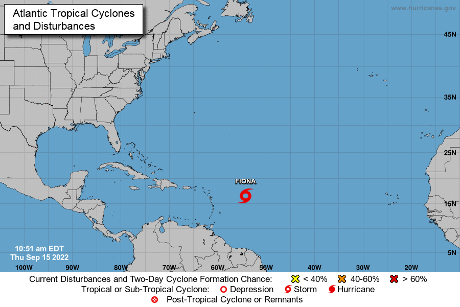
At 1100 AM AST (1500 UTC), the center of Tropical Storm Fiona was located near latitude 16.6 North, longitude 54.3 West. Fiona is moving toward the west near 14 mph (22 km/h). A westward motion with some decrease in forward speed is expected to continue through late Saturday, with a turn toward the west-northwest possible on Sunday.
On the forecast track, the center of Fiona is expected to move across the Leeward Islands Friday night and early Saturday, and move near the Virgin Islands and Puerto Rico late Saturday into Sunday.
Maximum sustained winds are near 50 mph (85 km/h) with higher gusts.
Some slow strengthening is possible during the next few days. Tropical-storm-force winds extend outward up to 140 miles (220 km) mainly to the north of the center.
The estimated minimum central pressure is 1002 mb (29.59 inches).
HAZARDS AFFECTING LAND
———————-
WIND: Tropical storm conditions are expected across portions of the northern Leeward Islands within the warning area beginning
Friday evening. Tropical storm conditions are possible across
portions of the northern Leeward Islands within the watch area by Friday night.
RAINFALL: Fiona is expected to produce the following rainfall totals: Northern Leeward Islands, the British and U.S. Virgin Islands and Puerto Rico: 4 to 6 inches with isolated maximum totals of 10 inches across eastern Puerto Rico.
Eastern Hispaniola: 4 to 8 inches with isolated maximum totals of 12 inches.
These rains may produce flash and urban flooding, along with isolated mudslides in areas of higher terrain.
SURF: Swells generated by Fiona are expected to begin affecting the
Leeward Islands later today, spreading westward to the Virgin
Islands and Puerto Rico on Friday and Saturday. These swells could cause life-threatening surf and rip current conditions. Please consult products from your local weather office.
NEXT ADVISORY
————-
Next intermediate advisory at 200 PM AST.
Next complete advisory at 500 PM AST.
Forecaster Berg
Advertise with the mоѕt vіѕіtеd nеwѕ ѕіtе іn Antigua!
We offer fully customizable and flexible digital marketing packages.
Contact us at [email protected]

