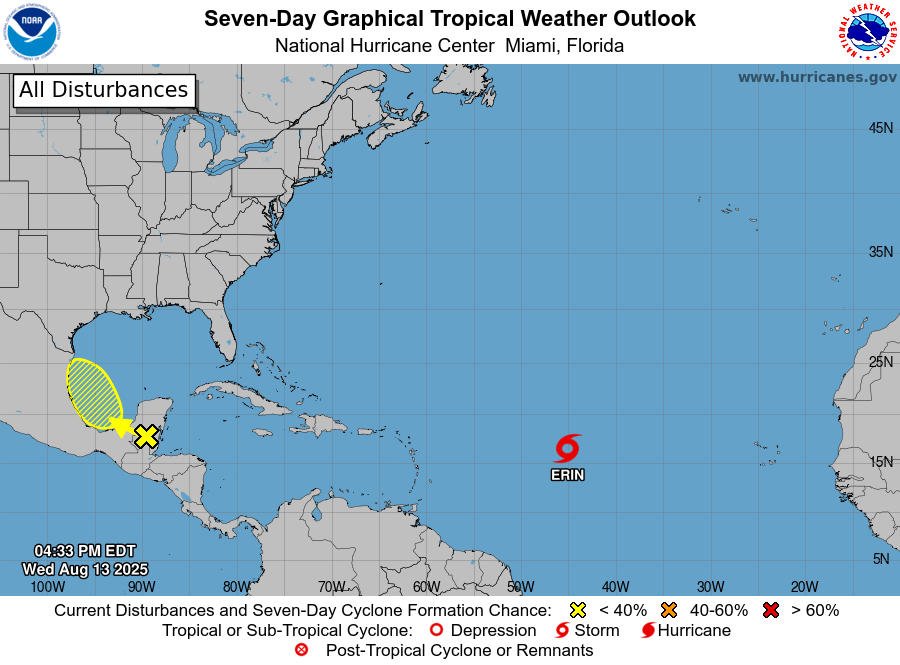
Tropical Storm Erin Strengthens, Forecast to Become Hurricane by Friday
Tropical Storm Erin is continuing its westward journey across the Atlantic, with forecasters warning it could strengthen into a hurricane within the next two days.
At 5:00pm AST (21:00 UTC), the storm’s centre was located near latitude 16.3°N, longitude 45.0°W — roughly 1,000 miles east of the northern Leeward Islands. Erin is moving west at about 17mph (28km/h), a track expected to continue into Thursday before shifting west-northwest through the weekend.
On its current path, the system is likely to pass near or just north of the northern Leeward Islands over the weekend.
Maximum sustained winds have risen to near 50mph (85km/h), with higher gusts. The US National Hurricane Center (NHC) predicts gradual strengthening, with Erin reaching hurricane strength by Friday. Tropical-storm-force winds currently extend up to 60 miles (95km) from the centre. The minimum central pressure is estimated at 1001mb (29.56in).
Swells generated by Erin are expected to reach the northern Leeward Islands, the Virgin Islands, and Puerto Rico by the weekend. These could cause life-threatening surf and rip current conditions, and residents are urged to follow advice from local weather services.
The NHC will issue its next full advisory at 11:00pm AST.
Advertise with the mоѕt vіѕіtеd nеwѕ ѕіtе іn Antigua!
We offer fully customizable and flexible digital marketing packages.
Contact us at [email protected]


